
Drones for Spraying and Field Mapping
On large fields, a drone can map crop stress and spray precisely in hours instead of days. We help you judge when it pays.
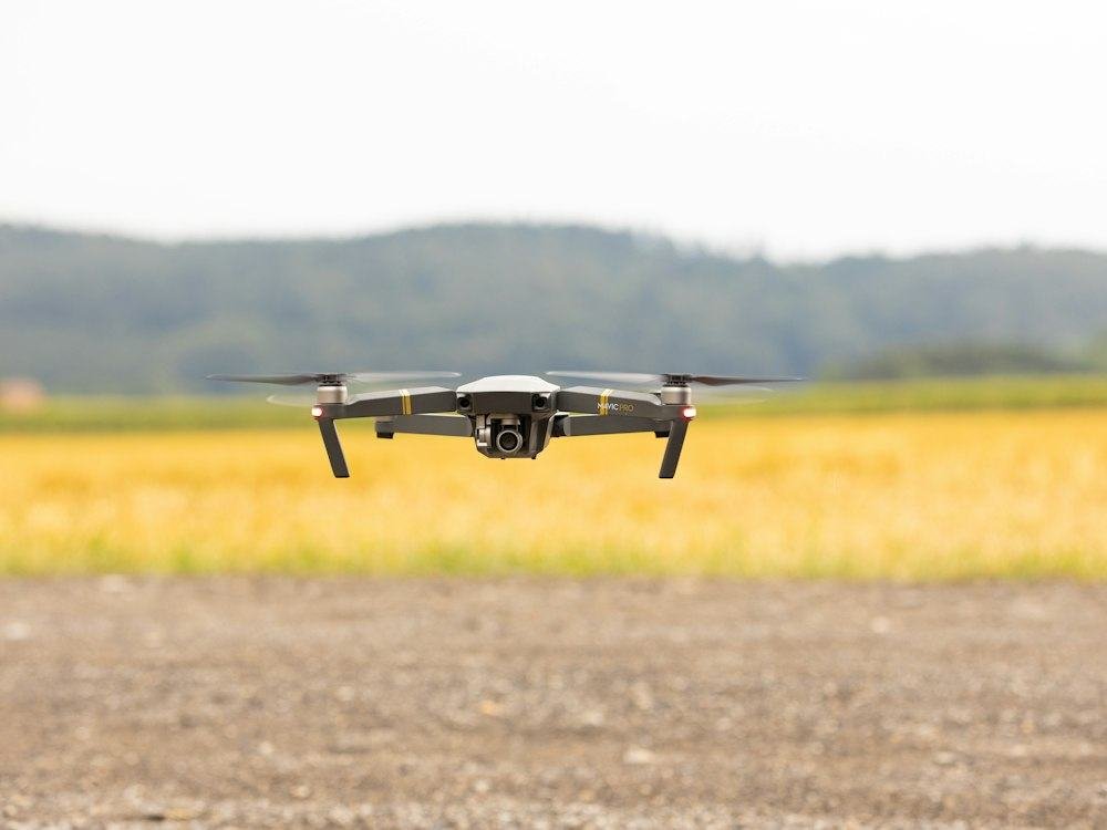
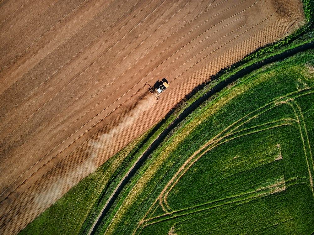
Drones carry cameras to reveal uneven growth, water stress and pest hot spots, and spray drones can treat large areas quickly with less water. Mapping from above helps you decide where to apply fertilizer or irrigation.
They suit large or hard-to-reach fields, and service providers can make them affordable without buying one. We advise on whether it pays for your farm and on regulations.
Key points
- Maps crop stress and field variability
- Spray drones cover large areas fast
- Services available without buying equipment
- Requires trained operators and permits
Where it fits
- Large irrigated schemes
- Cotton, sugarcane and cereals on big areas
- Hard-to-reach or waterlogged fields
- Estate and contract farms
- Service providers
How it works in practice
- Map the field early to find problem zones.
- Scout the zones on the ground.
- Apply inputs variably where it pays.
- Check regulations and operator training.
Honest advice
- Follow local aviation rules.
- Calibrate spray settings.
- Protect people, water and neighbours from drift.
Photos
Frequently asked questions
Do I need to buy a drone?
No; hiring a service provider is often cheaper.
Is it worth it on a small farm?
Usually not; ground scouting is enough.
Is it legal?
Rules vary; we advise on what applies.
Related
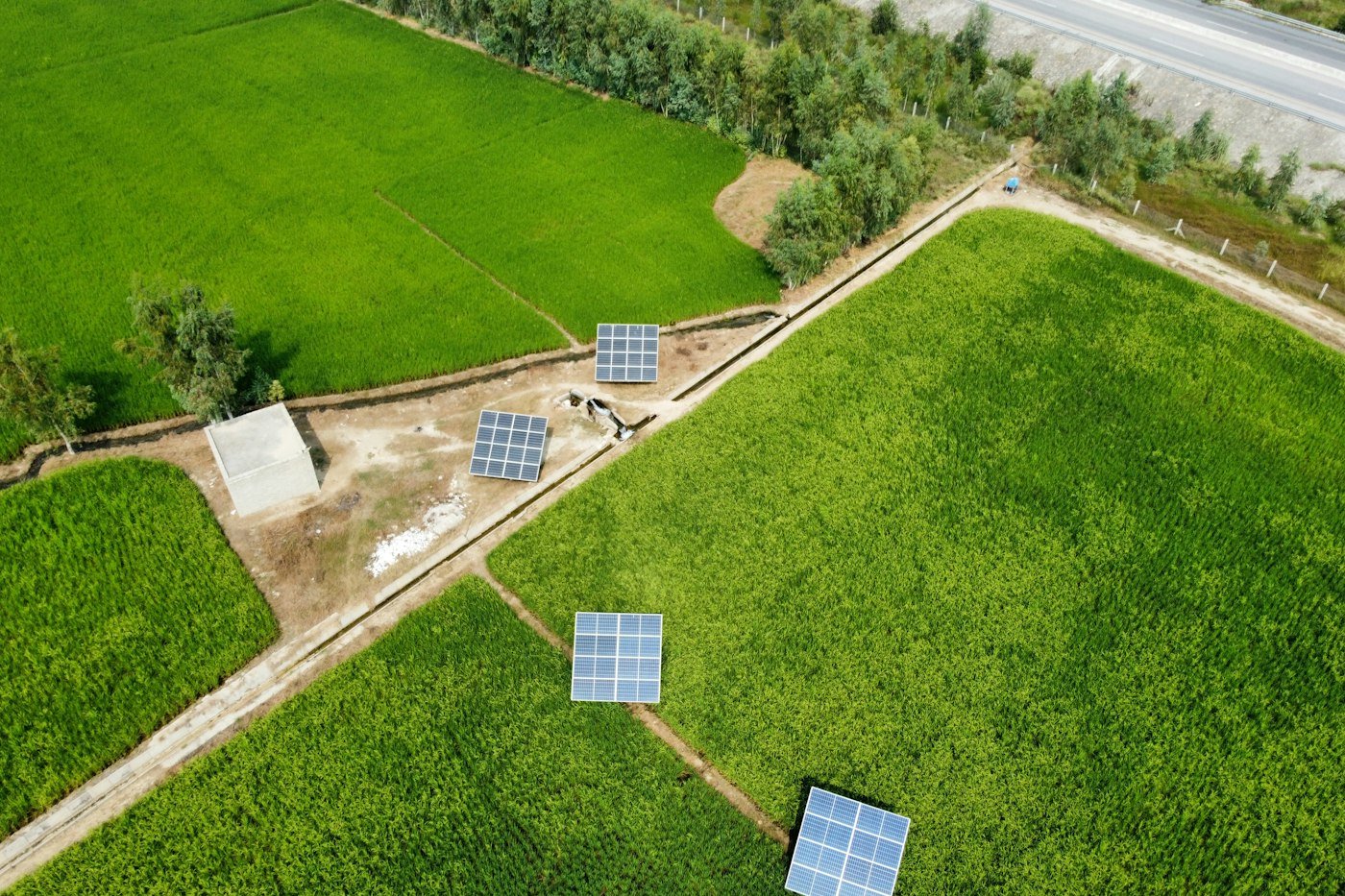
Solar-powered pumping
Run irrigation pumps on sunshine and cut fuel cost.
View details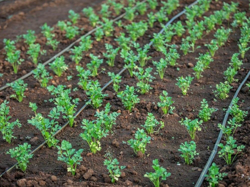
Drip irrigation and fertigation
Water and fertilizer delivered to the roots in measured amounts.
View details
Soil moisture and weather monitoring
Simple sensors that tell you when to irrigate and when to spray.
View details